Geodata as a basis: Research team of Frankfurt UAS develops digital tool for potential analyses and provides contribution to European energy transition.
Where are the most productive locations for wind and solar power plants in the EU? Researchers at the Frankfurt University of Applied Sciences (Frankfurt UAS) have developed a "digital tool" for optimal land management for the use of renewable energies: caREL (Computer-Aided Renewable Energy Language) is a scientific transfer project that uses existing geodata as well as previously developed methods and algorithms, thus enabling automated potential analyses. At the same time, caREL can also show the areas that need to be secured or stockpiled by individual states for the energy transition. All this is a prerequisite for the implementation of the European Green Deal and the European plan to become independent of fossil fuels from Russia before 2030. The caREL project was successfully completed, the knowledge remains freely available and thus enables the interested geoinformation systems community (GIS community) to quickly and efficiently create fully automated potential analyses themselves.
Creating value through open geodata for Europe
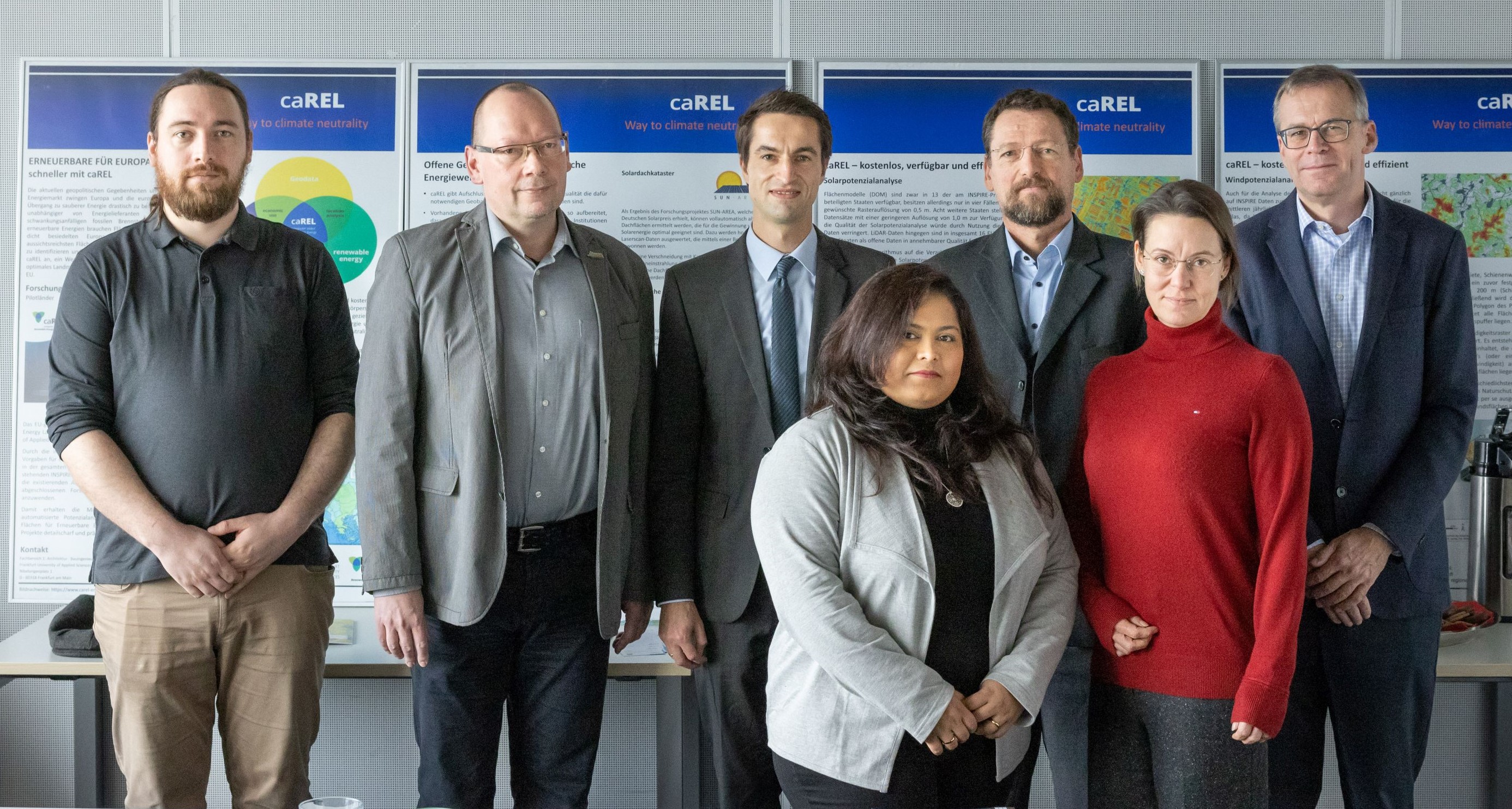
With the European Green Deal, the EU has set itself the goal of becoming the world's first climate-neutral continent by 2050. For its implementation and to achieve the climate goals, a relatively large amount of land is needed for the production of renewable energies. In the EU, the pressure on land is great. All countries need land for housing, infrastructure and agriculture, as well as for nature and landscape conservation. "In view of this competition, it is essential to identify the most promising areas for renewable energy production and to use appropriate sites," says Prof. Dr.-Ing. Robert Seuß, professor of geoinformation. He led the caREL project in the area of geodata management with Prof. Dr. Martina Klärle, who has since moved from Frankfurt UAS to the Baden-Württemberg Cooperative State University (DHBW) as president, as well as Prof. Dr.-Ing. Tine Köhler, professor of land management, and Prof. Dr.-Ing. Thomas Hollstein, professor of Reliable Embedded Systems and AI-based Information Processing at Frankfurt UAS.
Important building block on the way to climate neutrality
In 2007, the INSPIRE directive was adopted as a requirement for uniform geodata use throughout the EU. The INSPIRE geodata available in many countries are an ideal basis for using the existing algorithms and calculation methods from the completed SUN-AREA, WIND-AREA and ERNEUERBAR KOMM! research projects across Europe. "Automated potential and site analyses are cost-effective and transparent. Planners, project developers and local authorities can make use of them. They allow a targeted and economic use of wind power and solar energy and are an important building block on the way to climate neutrality and the need for more energy independence triggered by the Russian war of aggression", says Prof. Seuß.
Test in five pilot countries exceeded expectations
Depending on the available data, among others through INSPIRE as well as Open Data offerings, five pilot countries were defined for which caREL was initially implemented as an example: Estonia, Belgium, Slovenia, Denmark and Spain. For each of these countries, two regions, each with an area of approximately 25 square kilometers – one urban and one rural area – were identified for which example calculations had already been performed. The results of the potential analyses for Estonia and Belgium in the field of solar energy are very promising. In terms of detail and informative value, they are in no way inferior to the SUN-AREA solar roof cadastres, which already exist for numerous local authorities in Germany as well as in other countries within and outside Europe. "The data has even exceeded expectations because of its easy accessibility and free provision", says Seuß.
Geodata as an optimal tool
The transfer project caREL shows to what extent the introduction of the INSPIRE directive will facilitate the cross-border use of geodata in Europe. caREL focuses on the two energy sources wind and solar and is intended to make an important contribution to the further spread of renewable energies in Europe.
With the use case of location and potential analyses for solar and wind power, the transfer project caREL shows that the previous INSPIRE standardization needs a further harmonization step with regard to quality, structure and accessibility. In order to implement the European Green Deal and to achieve the climate goals, land is needed. caREL aims to show how EU-wide geodata can become an optimal tool to find these areas and provide them in simple and fast on-demand scenarios for policy decision support. Throughout the project, 73 companies were supported by caREL and 26 companies benefited. "The wish is for this number to increase and for Europe to achieve climate neutrality", Seuß said. caREL was funded by the state of Hesse from the Distr@l program, supplemented by co-financing from the European Regional Development Fund (ERDF).
Project website with video tutorials
Tutorial videos as well as written instructions are downloadable from the project website (www.carel-energy.eu/). The developed algorithms can also be obtained from the website. There is also a geoportal created specifically for caREL that allows users to view the existing example calculations.
Contact
caREL Project Management
Prof. Dr.-Ing. Robert Seuß
Phone: +49 69 1533-2358
E-Mail: seuss(at)fb1.fra-uas.de