
The study program Geodata Management (M.Eng.) (GeoDM) combines in the Frankfurt Model the technical and methodological competences from the fields of geoinformatics, engineering surveying and land management as a basis for interdisciplinary sustainable action.
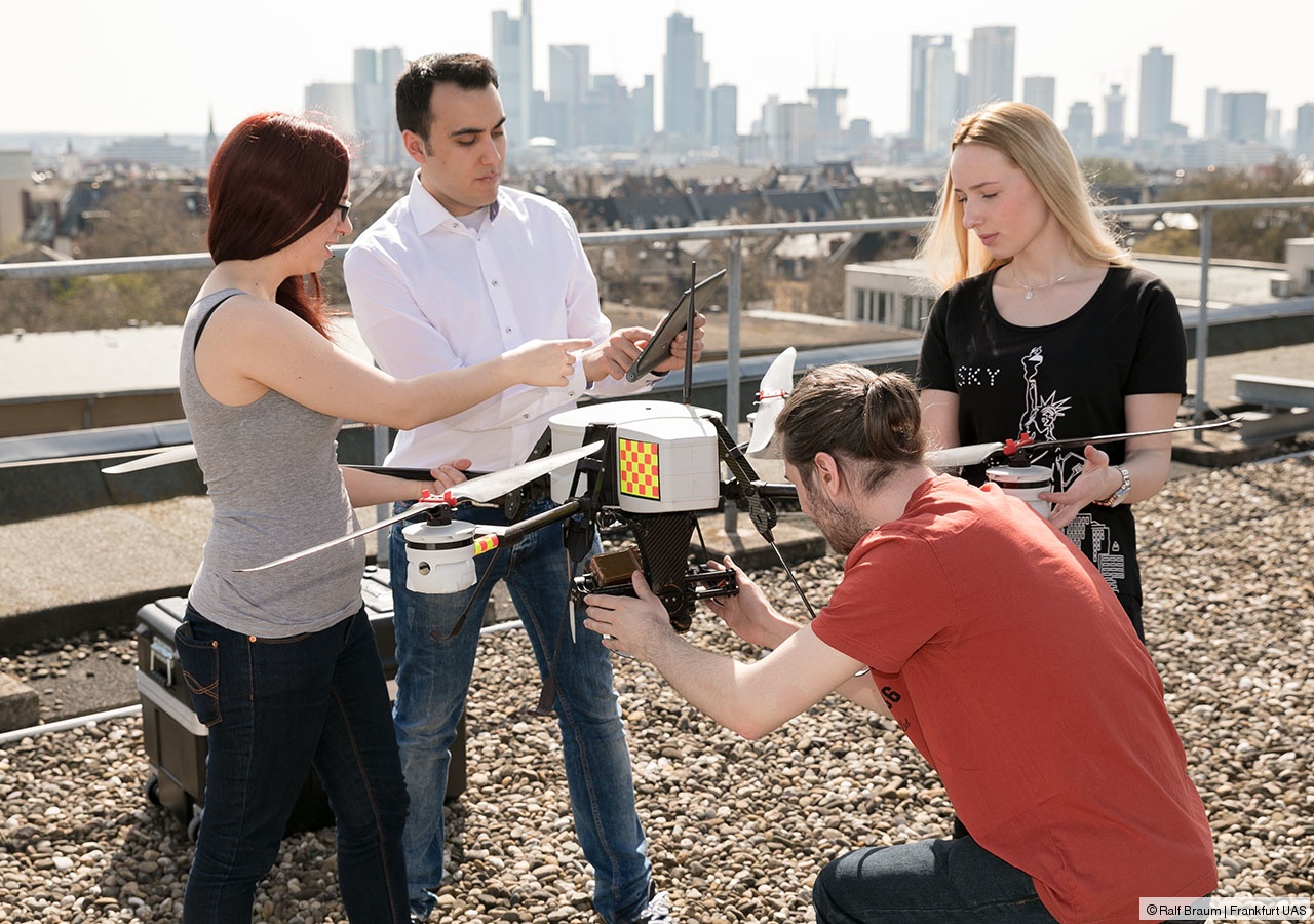
At its core is the process of collecting, storing and evaluating spatial data from the real world. The digital provision of data via geodata infrastructures and their visualization find a variety of applications in all socially relevant topics.
The Frankfurt model includes the development of social and personal competence as key qualifications, which are taught through content on process, project and leadership management. After the completion of the studies, graduates will be able to hold leading positions in companies and authorities responsibly and significantly contribute to all questions regarding the Geodata Management.
Summary
Program | Geodata Management |
Terms | 4 terms, full-time |
ECTS-Credit Points | 120 |
Program start | summer and winter semester |
Application deadlines | with German degrees: |
with foreign credentials: summer semester Jan 15./winter semester July 15. | |
Languages | German |
You will get to know the tools of geodata management. You will consider subject-related theories and develop adequate solutions with help of appropriate measuring or IT systems. This way you will be able to analyze, critically reflect on and manage portfolios and change processes of land and real estate.
Admission requirements
Applications (with foreign credentials) need to be submitted by January 15, for the summer semester, and by July 15, for the winter semester.
To the academic calendar
You require a degree in one of the following degree programs:
- Geomatics and public works,
- civil engineering, facility management, geodesy, geography, geomatics, environmental engineering,
- or similar degree programs.
The previous degree course must have had a regular period of study of 6 semesters or 180 ECTS credits. The grade point average of the former degree must have been 2.8 or better.
Please submit the following documents:
- Certificate for the required degree with average grade,
- a letter of motivation of one or two page length, which describes your motivation for applying for the chosen degree course and profession.
- CV.
To the academic calendar.
Your opportunities
We provide you with the optimal learning atmosphere in interdisciplinary small groups.
Our professors are well connected in the Rhine-Main region in economy, municipalities and research. The Frankfurt Research Institute for Architecture ∙ Civil Engineering ∙ Geomatics (FFin) is associated with our Faculty and supports the knowledge transfer between research and teaching. Visit the Frankfurt Research Institute for Architecture ∙ Civil Engineering ∙ Geomatics (FFin).
During the third semester you can further enhance your acquired knowledge at one of our partner universities or in the two application-oriented study projects offered at the Frankfurt UAS.
With the academic degree "Master of Engineering" you will be able to undergo doctoral studies and work in the higher civil service sector. The bachelor's degree courses in Geomatics and Public Works (B.Eng.) or in geodesia and geoinformation are mandatory in order to be admitted to the clerkship in Hesse.


