Geodata: Record. Process. Use.
As a geodetic engineer, you describe our earth digitally with the help of spatial data (geodata) in order to shape our living space for the present and the future. The Frankfurt Model combines technical and methodological expertise from the fields of surveying, geoinformatics and land management as the basis for sustainable action.
During your studies, you will focus on the recording, processing and usage of geodata from the real world. The provision of this data via geodata infrastructures as well as its presentation and interpretation have a wide range of possible applications in almost all socially relevant areas.
This bachelor program is only available in german. For further information on this program, please switch to the german version of this page.
Study organization
In the first two semesters, we teach you fundamental knowledge in the fields of mathematics, technology and law as a basis for your academic education. From the third semester you will be introduced to the various aspects of management in greater depth. By choosing the study project, the two obligatory modules and the Bachelor's thesis with colloquium, you will have the opportunity to deepen your knowledge from the fourth semester onwards. You can choose from the following areas:
- Geodata recording (surveying)
- Geodata processing (geoinformatics)
- Geodata usage (land management)
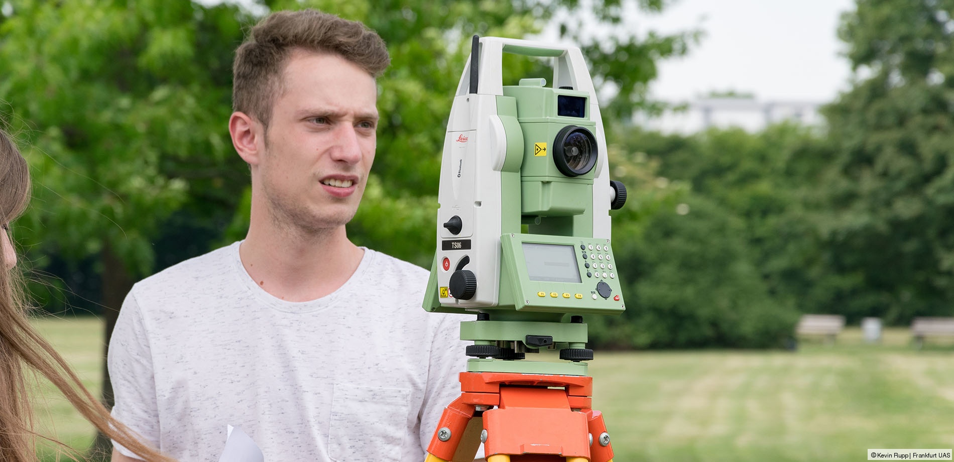
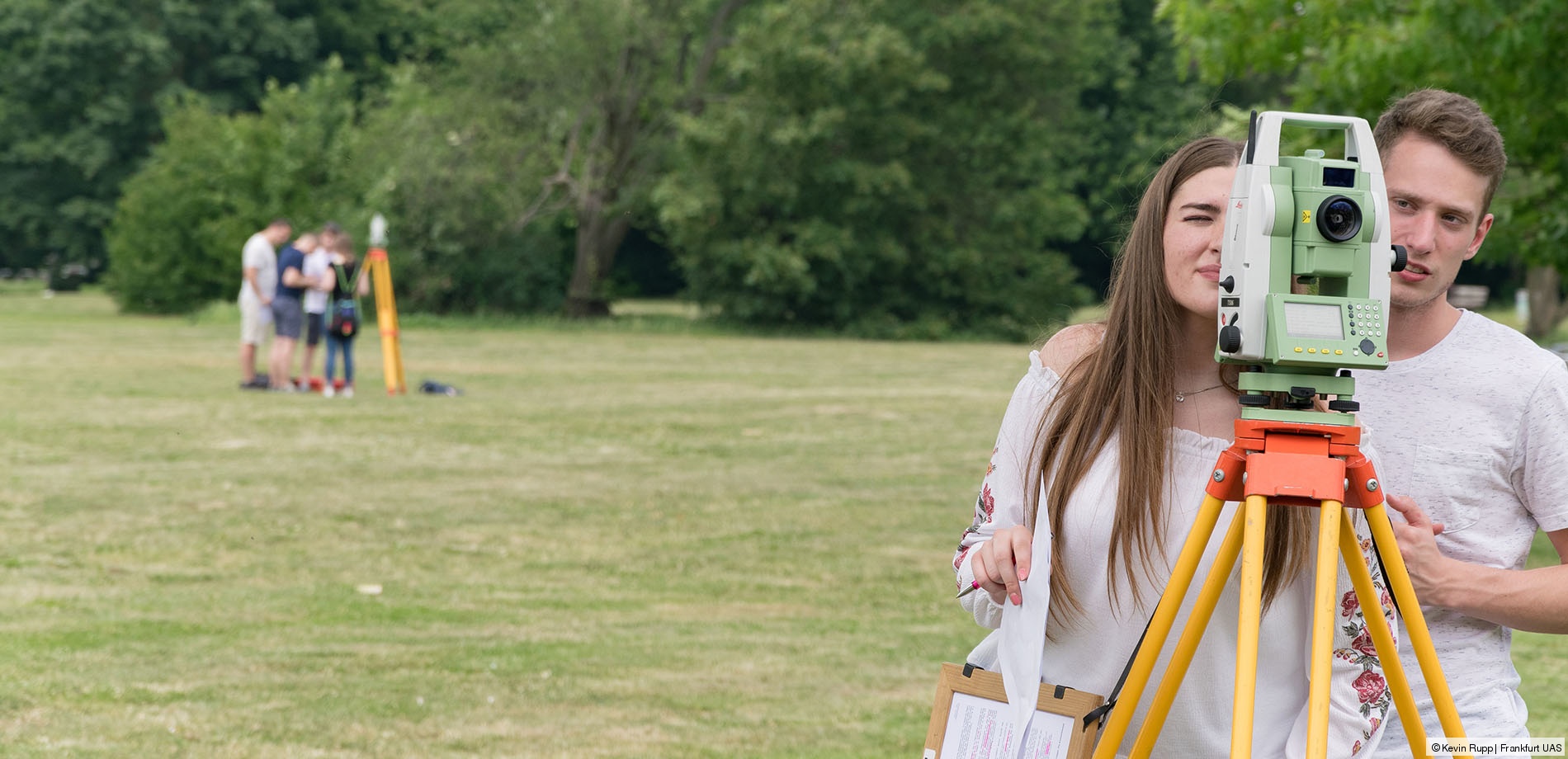
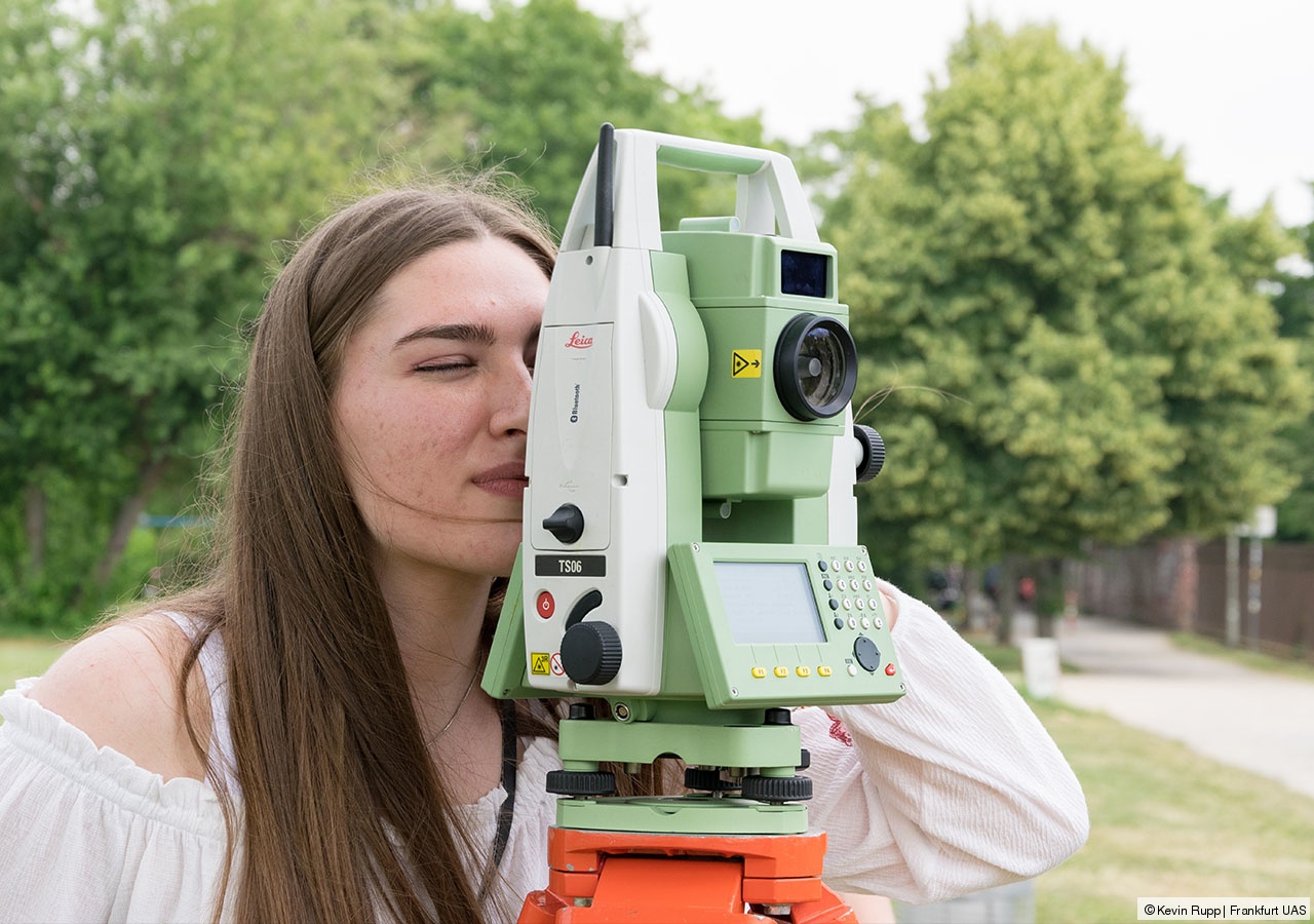
We enable you to use modern measuring techniques such as laser scanning and satellite surveying to precisely record the exact positions of property boundaries, buildings and other geographical objects on the earth's surface. You will also learn how to use geoinformation systems with which you can both visualize and analyze the geodata in detail.
Digital maps and virtual city models can be used to make forecasts about possible changes to the urban climate or lay the foundations for autonomous driving. In local, urban and spatial development, concepts are created that take ecological, social and economic aspects into account. Optimal planning ensures the sustainable operation and management of technical infrastructure and buildings in private and public areas.
Admission requirements
The degree course is not admission restricted.
Students with a German university entrance qualification:
- Application via our Student Support and Services department (StuPort)
Students with an international university entrance qualification:
- Application via the platform uni-assist
- More information from our International Office
Access the academic calendar.
Prospects
Due to the range of subjects covered by the course, you will become familiar with a variety of potential professions. With the academic degree in Geodata Management (B.Eng.), our graduates work independently in their area of expertise and also work efficiently as generalists at the interface to other specialist disciplines.
Future employers include public authorities and companies in the fields of surveying and geoinformation, engineering and planning offices, infrastructure companies, the construction and real estate industry, IT and communication service providers as well as energy, waste management and disposal companies.
With the academic degree 'Bachelor of Engineering' you also have the option of extending your education by a Master's degree.